
Romania Map
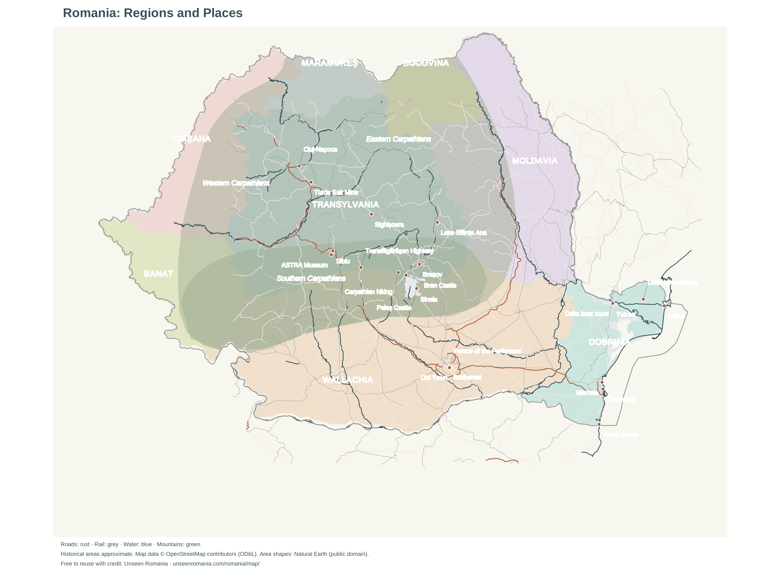
Search Romania’s towns and sights, then open a guide or plan your trip.
 N ↑
Map data © OpenStreetMap contributors · Places: Wikidata, CC0 / OSM, ODbL · Areas © Natural Earth. Historical areas are approximate.
Download a Map of Romania
Print at A3 or save a high-resolution image. Free to reuse with credit to Unseen Romania and the map-data contributors shown on each map.
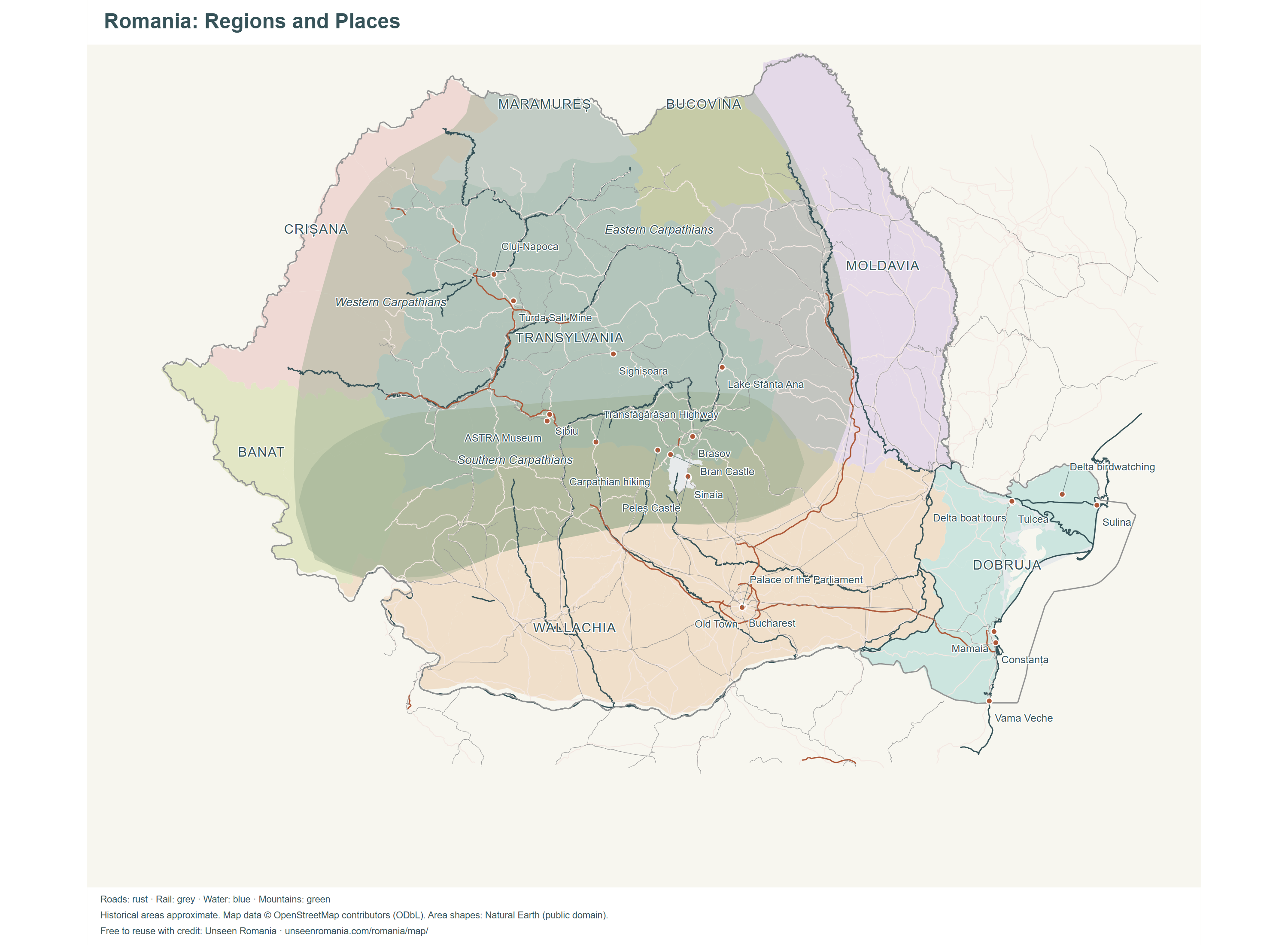 Romania: Regions and PlacesDownload PNG · 3000 × 2200
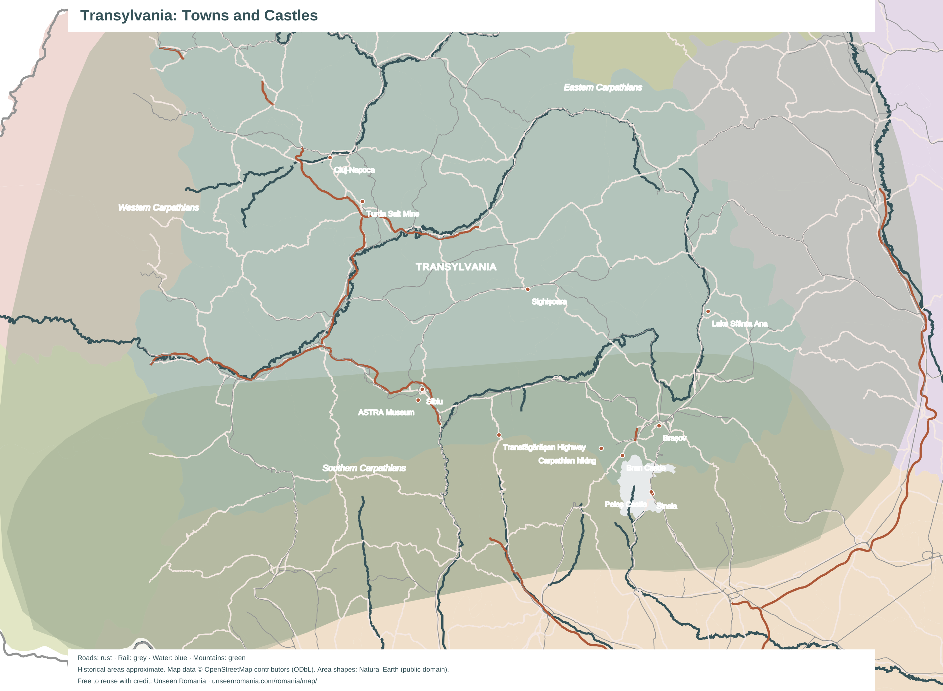
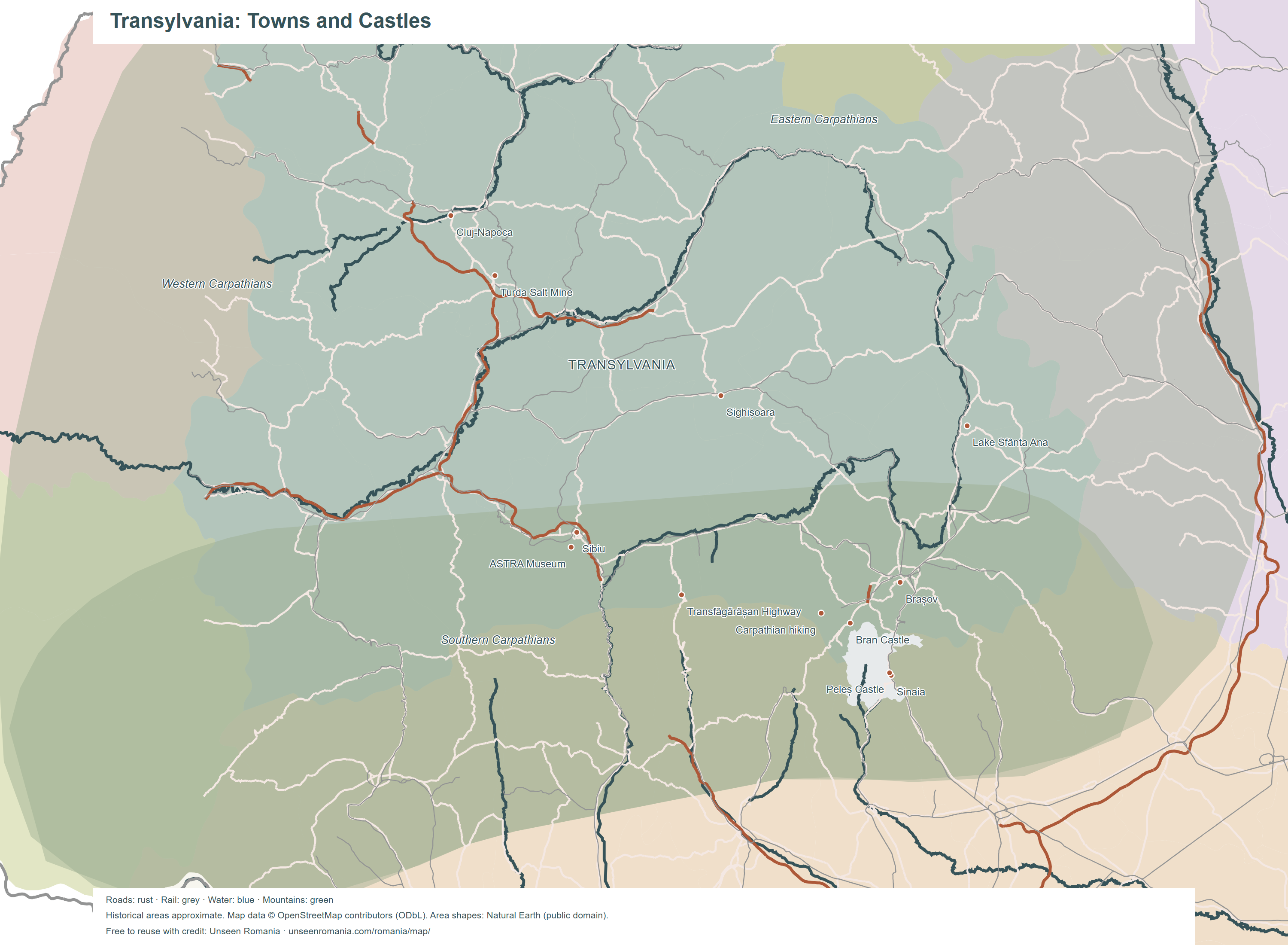 Transylvania: Towns and CastlesDownload PNG · 3000 × 2200
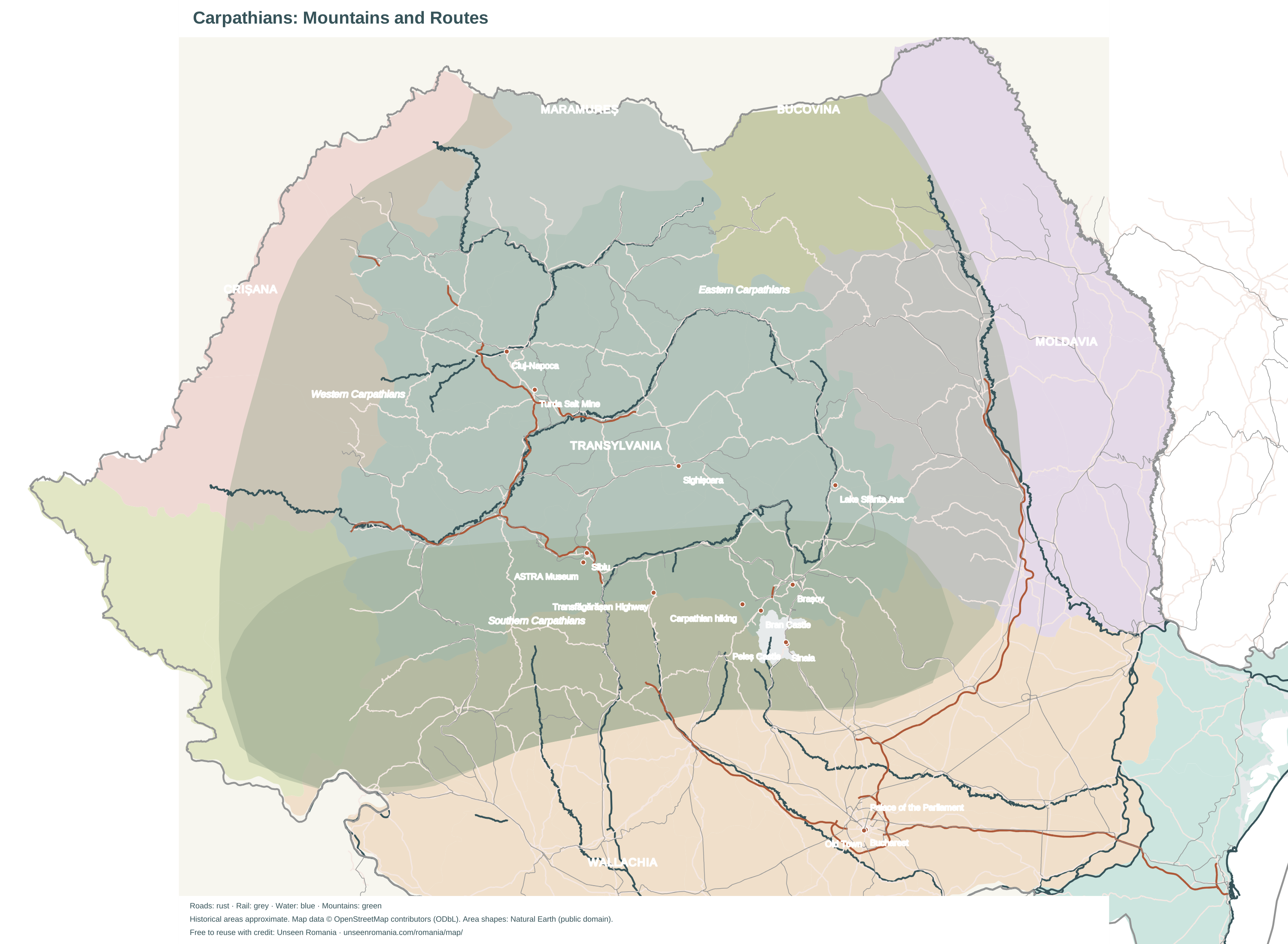
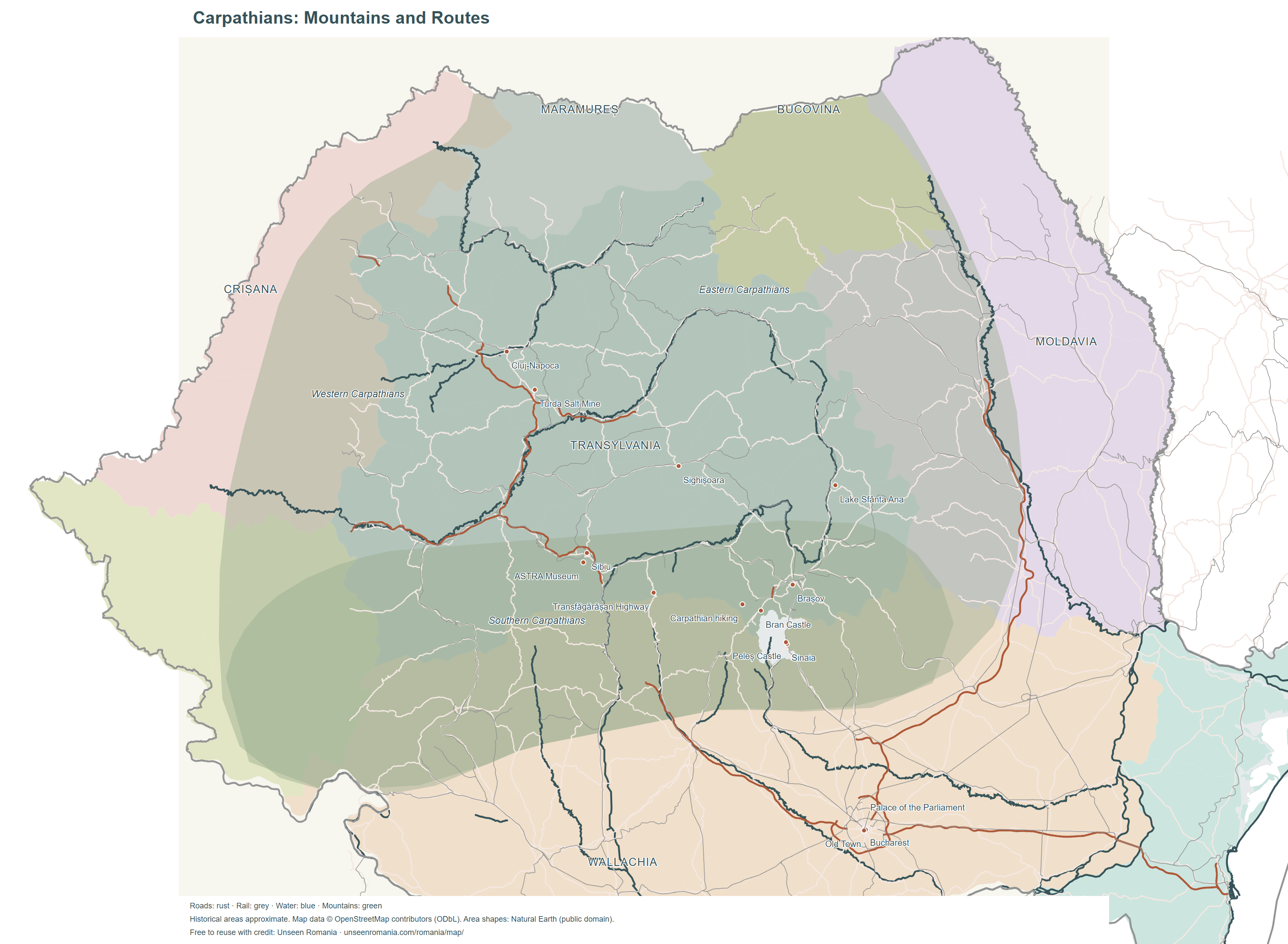 Carpathians: Mountains and RoutesDownload PNG · 3000 × 2200
Prefer a vector map? Romania SVG · Transylvania SVG · Carpathians SVG · National place list CSV (data licence).
Explore Romania by Region
Transylvania
Medieval towns, fortified churches and castles inside the Carpathian arc. Start with Transylvania, Brașov or Sibiu.
Moldavia and Bucovina
The northeastern regions sit east of the Carpathians; Bucovina occupies the northwestern corner of historical Moldavia. Place them in a wider Romania itinerary.
Dobruja
Between the Danube and the Black Sea, find Constanța, the coast and the Danube Delta.
Banat and Crișana
The western regions face Serbia and Hungary. Use the map's roads and railway lines to see how they connect with the rest of your Romania trip.
Maramureș
The northern region borders Ukraine, beyond the northern edge of Transylvania. Compare travel distances before adding it to your route.
Historical regions are shown as approximate areas using modern counties; their historical borders differ. Mountain shading shows the Carpathian range. Roads, railways, rivers and coast: OpenStreetMap contributors, ODbL. Area shapes and Europe inset: Natural Earth, public domain. For seasonal conditions, use Romania weather by month.